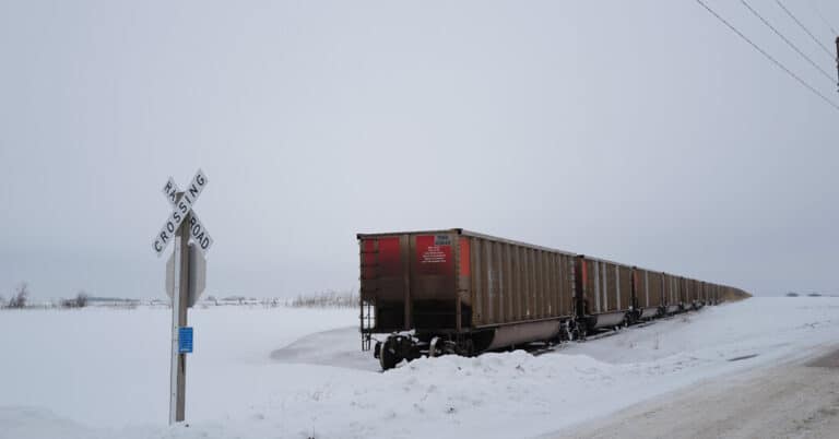
A relentless weather pattern that caused headaches for large portions of the United States this week will deliver blizzard conditions across the Midwest and Great Lakes on Friday and into the holiday weekend, while severe weather will again settle over the South and East, forecasters said.
“Life-threatening winter weather is expected,” with heavy snow and white-out conditions Friday, followed by wind chills as low as minus 45 through early next week, wrote forecasters in Des Moines, Iowa, where voters on Monday are going to participate in the presidential caucuses. Wind chills that extreme can lead to frostbite on exposed skin within minutes.
Nearly 30 million people, mostly in the Midwest and around the Great Lakes, were under a winter storm warning early Friday, according to the National Weather Service. Over three and a half million people in the region were under a blizzard warning. By early next week this Arctic outbreak will deliver below-average high temperatures and freezing low temperatures to every state across the contiguous United States.
In portions of Alabama and Mississippi, there was an enhanced risk of severe thunderstorms, and the possibility of tornadoes, with the threat moving east by the evening.
Here’s what you need to know about this weekend’s forecast.
The Midwest and Great Lakes brace for a blizzard.
İçerik Tablosu
By Friday morning, snow was already falling over Chicago and Des Moines. Local forecasters said overnight snowfall rates of about one inch per hour would create reduced visibility and hazardous roads by sunrise.
As the day moves on, conditions will not improve. Heavy snow showers will continue into Saturday, bringing accumulations of more than a foot in some parts of Wisconsin and Michigan, the Weather Service said. Falling snow along with gusty winds up to 50 miles per hour will create blizzard conditions.
When the system finally begins moving out of the area on Saturday, cold and gusty northwesterly winds will rush over the Great Lakes, kicking off lake-effect snow in areas downwind of the lakes. Snow showers will then move east into the Interior Northeast and northern New England.
The South and East prepare for more severe storms.
For much of the week, areas along the Gulf Coast and Southeast have grappled with disruptive thunderstorms that spawned deadly tornadoes and powerful winds. On Friday, the regions will see more of the same.
While parts of Alabama and Mississippi were under an enhanced risk of severe weather Friday, a larger area that includes the rest of those states and the Carolinas, the Florida Panhandle and Georgia face a slight risk, according to the National Weather Service Storm Prediction Center.
Severe thunderstorms capable of producing damaging winds up to 75 m.p.h. and a few tornadoes were possible through the evening. The greatest chance of severe wind gusts will be from central and northern Mississippi into northwest Alabama.
In the Jackson, Miss., area, forecasters said to expect sustained winds of about 30 m.p.h., which could help take down trees and power lines. Travel may also be difficult for high profile vehicles. Similar messaging was issued from the Weather Service office in Huntsville, Ala., where meteorologists warned locals to be careful with alternative heat sources should the power be disrupted.
Polar plunge dips to the Gulf Coast
Arctic air began plunging southward out of Canada on Thursday afternoon, delivering the coldest air of the season and dropping the temperature to minus 26 early Friday morning.
Temperatures will remain below zero into next week across the Northern Plains, with highs only into the single digits for the Central Plains by Saturday. Some places may see daily records of minus 20, 30 or maybe even minus 40 on Saturday morning.
The widespread, gusty winds will make it even more dangerous to be outside by removing the invisible shield of heat your body creates to keep you warm. This wind chill will make it feel considerably colder and potentially lead to frostbite in a matter of minutes.
Hundreds of daily cold weather records are in jeopardy through early next week as the surge of cold air will dive south, bringing freezing temperatures down through the Deep South and near the Gulf Coast.
Along the edge of the cold early next week snow or ice could fall across the south and into the Mid-Atlantic but there is uncertainty Friday with where, what type and when it would fall.


