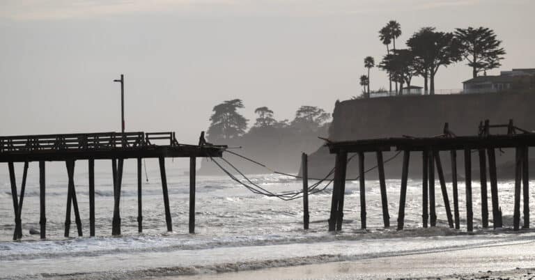
A first of many.
California is bracing for a possible atmospheric river to hit the state this week, a particularly wet type of storm that could set the stage for a repeat performance through winter.
Last winter, the state was hammered again and again by atmospheric river events that continually dumped rain on an overly saturated ground.
Here’s what’s in the forecast.
İçerik Tablosu
As a storm system slowly meanders off the state’s western coast, waves of rainfall will affect coastal California from Wednesday through Saturday.
How much could fall was still uncertain on Monday.
Because the storm is moving so slowly, it is difficult to predict how much of the storm will tap into the deep tropical moisture of an atmospheric river. The storm itself has enough moisture capable of producing one to three inches of rain in some places and may even bring a few inches of snow to the highest elevations of the Sierra Nevada.
What’s an atmospheric river?
Atmospheric rivers form when winds over the Pacific draw a filament of moisture from the band of warm, moist air over the tropics and channel it toward the West Coast. When this ribbon of moisture hits the Sierra Nevada and other mountains, it is forced upward, cooling it and turning its water into immense quantities of rain and snow.
The name comes from their long, narrow shape and the prodigious amount of water they carry.
It was a series of atmospheric rivers coming back to back, week after week, last winter that turned farmland into a massive lake, piled snow taller than houses in the mountains, and contributed to multiple mudslides along California’s coastal ranges.
Read more about these types of storms — and how climate change is shaping them — in this piece by Raymond Zhong, a New York Times climate reporter.
How does El Niño affect them?
More atmospheric rivers are expected this winter as an El Niño weather pattern continues to build across the Pacific.
During an El Niño period, the semi-permanent low-pressure system that sits over the Aleutians, properly called the Aleutian low, strengthens and sometimes shifts farther south. That allows for the counterclockwise weather pattern to transport more moisture into the western United States.


